Map of the Lake Creek Settlement
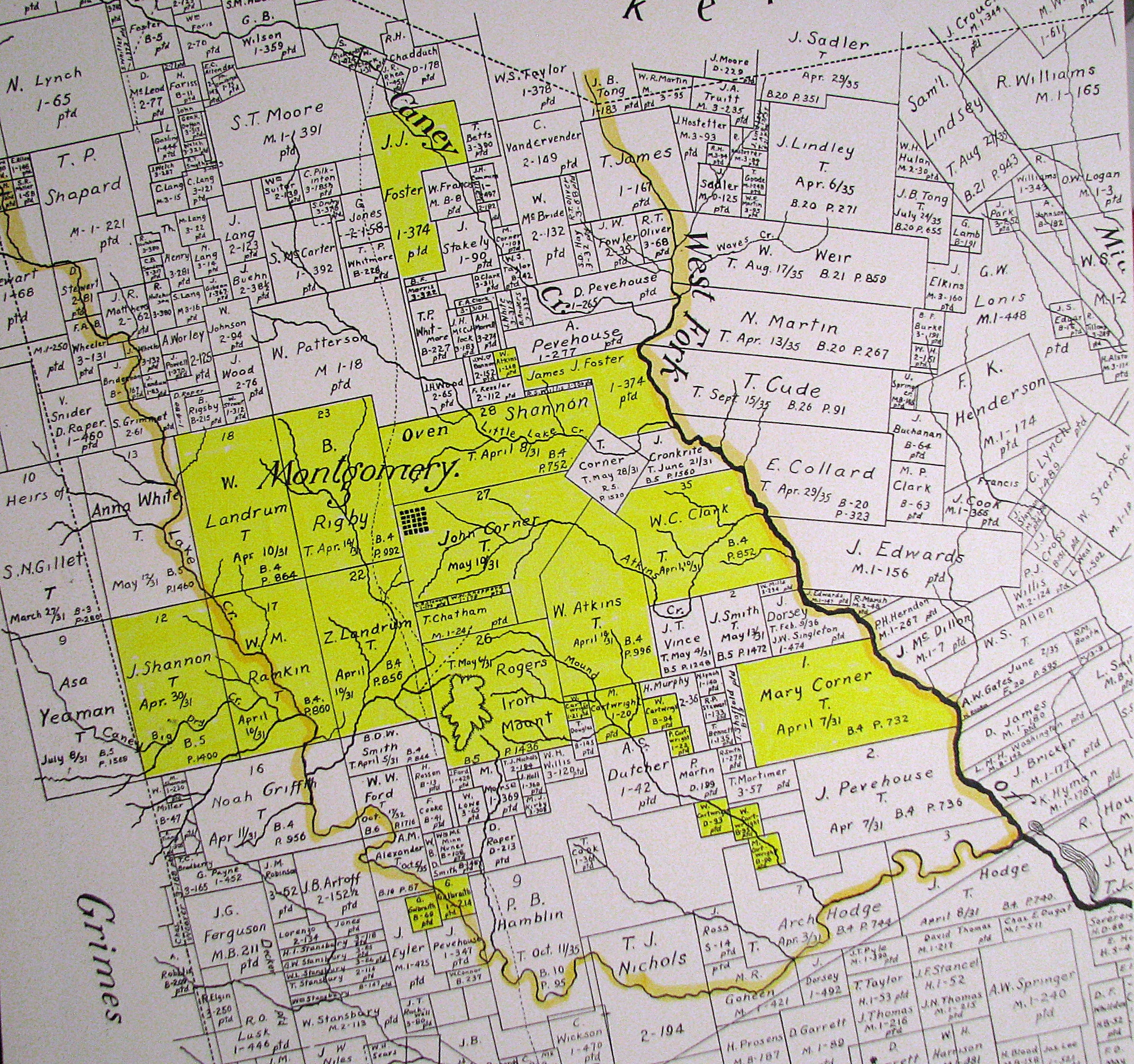
The Lake Creek Settlement in Texas included the lands
between the West Fork of the San Jacinto River and the stream called Lake
Creek.
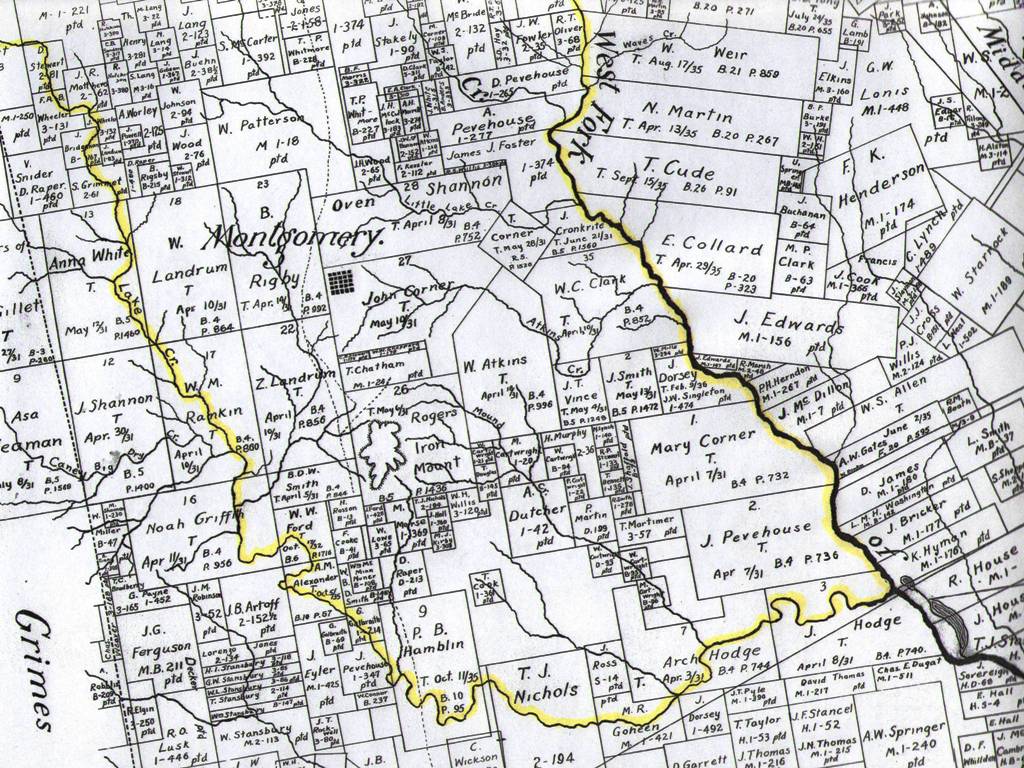
Below is an 1861 map of Montgomery County, Texas which has
been highlighted to make it easier to visualize where the lands known as the
Lake Creek Settlement were before the founding of the Town of Montgomery in July 1837.

A number of early settlers received land grants within the boundaries of what
became known as the Lake Creek Settlement. The land grants highlighted on
this map indicate land
owners and real estate mentioned by name in the Lake Creek Settlement documents listed below. These documents give us a very good
idea of where the Lake Creek Settlement
was and its approximate size.

|
